Home › Forums › Ride Reports › Ride To Te Akau Wharf
-
AuthorPosts
-
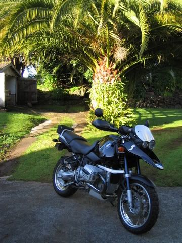
Went for a little ride today, just my shadow and I. My shadow is a pretty good riding partner, when he’s around it usually means that it’s sunny. He rides a black GS from what I could tell. Only time he’s not not around is when it comes to paying for the petrol.
Here is route I took. Red for going south and blue for the return trip.
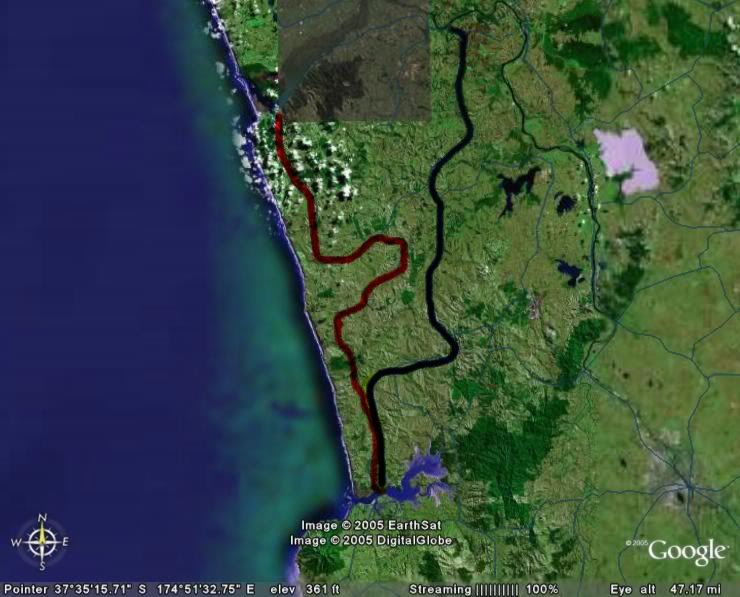
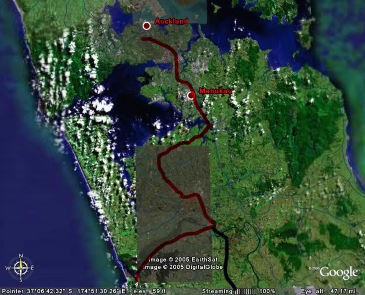
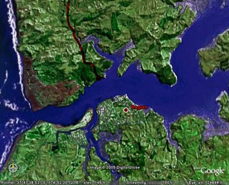
And the destination
The bike ready to go, still clean from the last service.
The worst part is getting out of Auckland. Although rush hour had ended there was still a lot of traffic on the road. I had to super slab it out of town as the yanks say. Luckily it's possible to do two thirds of the Southern Motorway in about 25 min. Pulled in for a fill at our favourite petrol station, BP Papakura. Looks like you can only get the 98 Octane fuel now. But what worse, the price of petrol has gone through the roof.
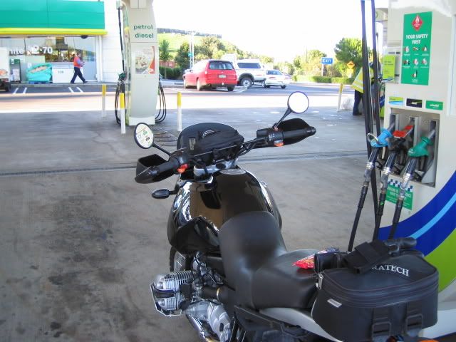
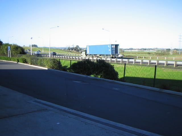
A quarter of the country's population lives in the greater Auckland area, not even New York can say that. The place is huge. Luckily the turn off is only a few ks up the road.
First stop was the bridge a Tuakau, it crosses the mighty Waikato river, near to where it flows into the Tasman sea. I've always wanted to take a few pictures of that bridge.
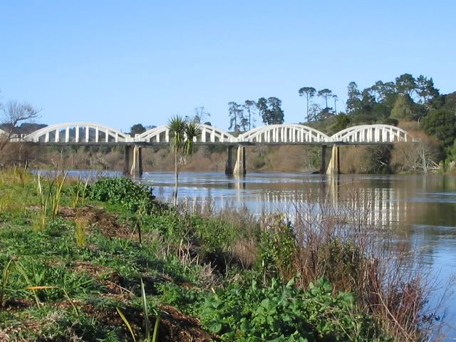
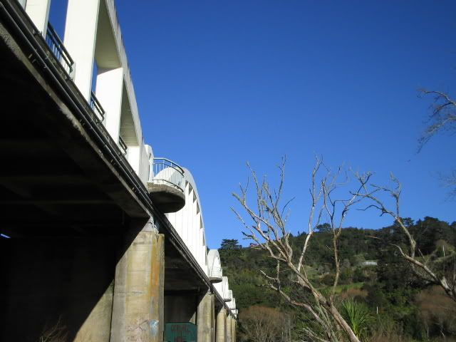
On to Port Waikato, a sleepy seaside village. It's got a surf beach and sand dunes. It comes to live in summer, that's when most of the holiday homes and baches are occupied.
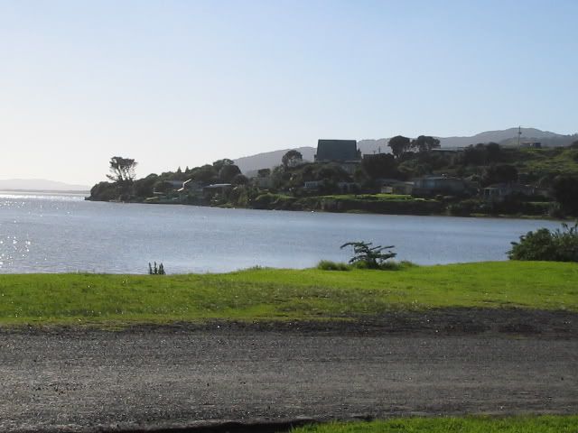
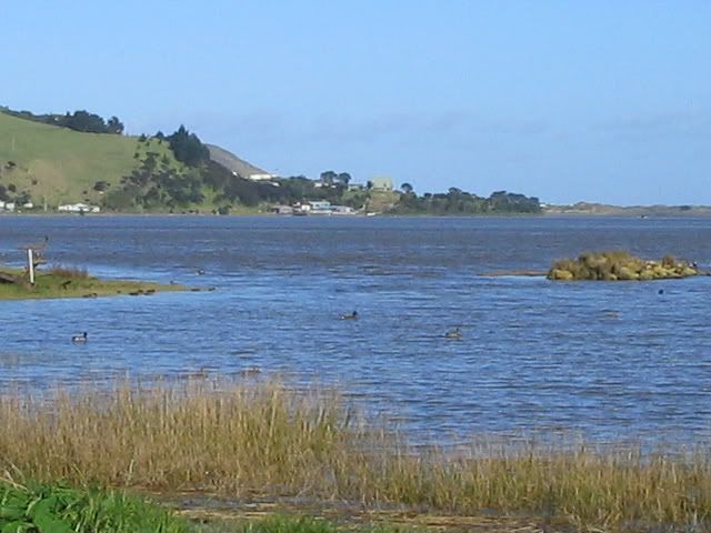
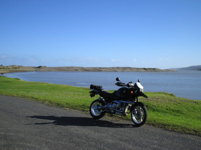
Port Waikato is where the gravel road starts. I've been meaning to take the road for a while now. However, a certain Steve had described it as boring farmland roads, so it hadn't been an urgent undertaking.
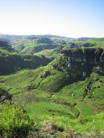
Boring farmland
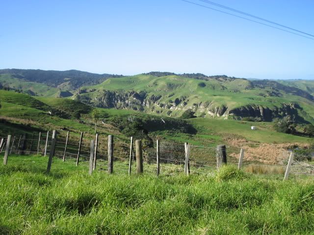
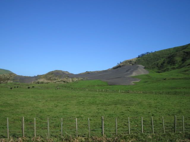
Sand taking over grassland
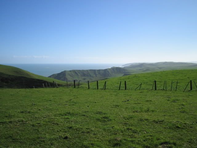
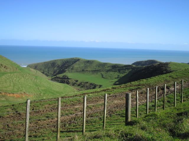
Luckily you are never far from the sea.
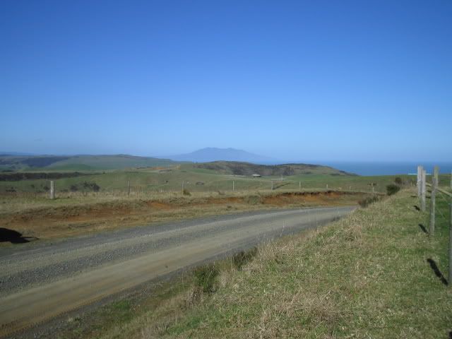
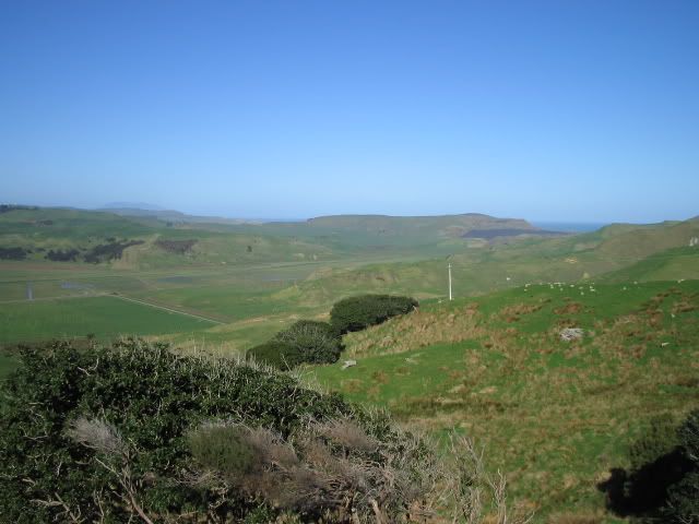
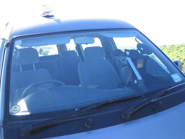
I rode roughly 130km of unsealed roads, and I did see a van. This guy was filming the road, while mapping it with a GPS at the same time. He was contracted to the council. The council wanted an accurate record of road conditions. he's got 3000km of Franklin County roads to survey. Poor man.
Here is his set up. Love the jap import van, with the high tech camera rig suction cupped to the windscreen. The antenna for the GPS is on the roof.
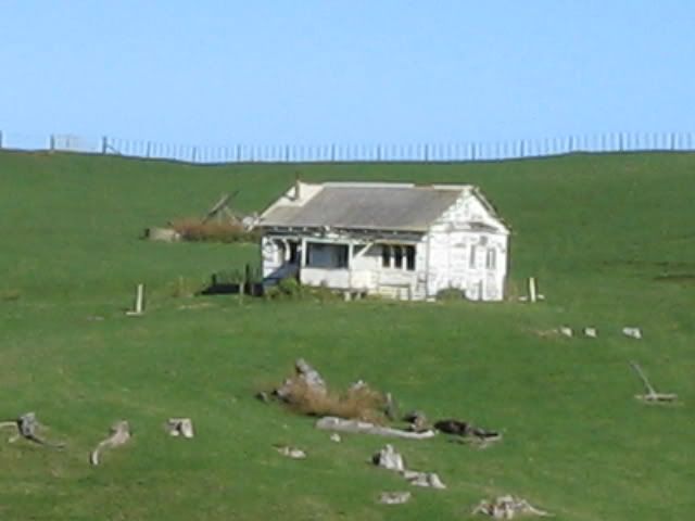
I love these old abandoned houses, too bad this one is out of focus. One day I will dedicate a ride and photo shoot to all thes old places I know.
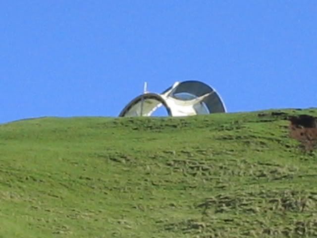
I've been looking at this thing from a distance, couldn't work out what it was. This was the best shot I could get after having ridden past the best location and couldn't be bothered to back track. It's a developmental wind turbine, but the project must have been ababdoned. From memory it had something to do with Vortex.
More sheep country
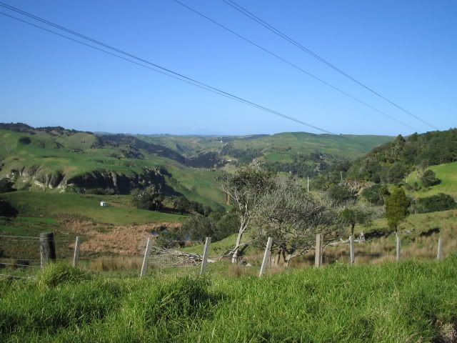
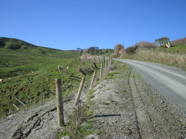
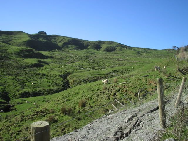
There were a lot of farm animals on the road. The older animals were quite relaxed and weren't bothered, but some of the younger cattle had to be watched. Sheep of course were being sheep. We did the sheep cross the road? Because it thought the others were about to. Anyway, that's why it came back and nearly took me off the bike.
Finally Te akau Wharf, if you haven't already guessed, it's opposite Raglan. But without the latte.
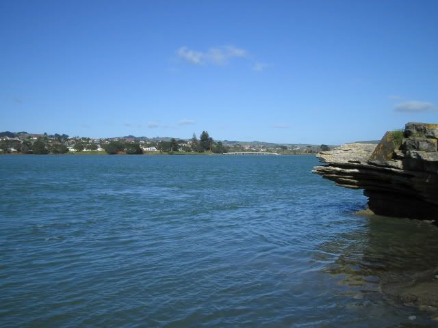
Close but yet so far.
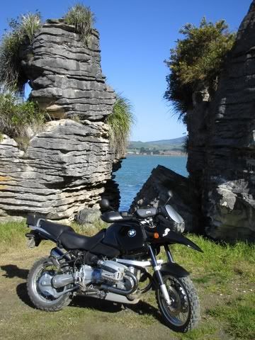
Can you work this one out?
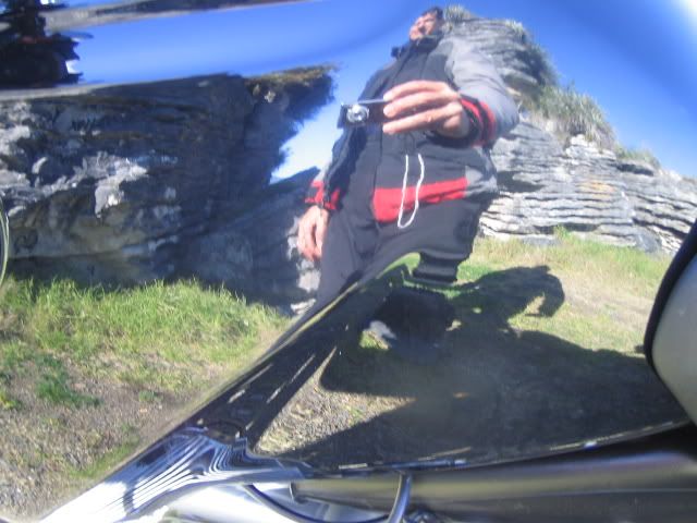
Anyway, the way back was uneventful. I should have taken a map. Hooned back up highway 22, trying to avoid all the washouts. One had actually closed the road, but I had a go anyway. Sure enough, it was easy to get past. Joined up with rush hour traffic at 4pm and ended up lane splitting home.
Thanks for reading.😀 Good one Alex, some nice shots. On another topic I’ve tried to have myself logged in remotely by clicking the box supplied but still have to log in each time! what am I doing wrong please?
MalcolmYou may have disabled the cookies option. The forum won’t recognize you without cookies enabled.
What a beautiful day!!
I had to sit in front of my computer all day at the office and I didn't realise that it was a such beautiful day. 🙁
The last photos with rocks look like the Pancake Rocks in Punakai.
You don't need to go to the South Island to see Pancake Rocks. 🙂 -
AuthorPosts
- You must be logged in to reply to this topic.
