Home › Forums › General Discussion › Pictures from the Northern Motorway extension
-
AuthorPosts
-
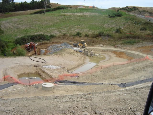
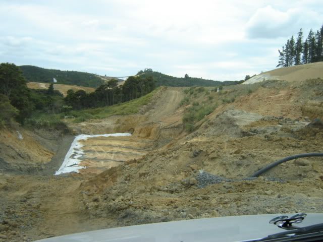
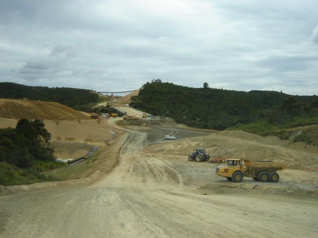
Recently Dave invited people to have a look at the motorway construction. I took him up on the offer. What followed was a highly interesting 2 hours covering the construction earthworks from just past the roundabout at the current end of the motorway to the other side of the tunnels.I have plenty of pictures, but not really the time to give much of a commentary. Maybe Dave will jump in if there are any questions. So here it goes:A sedimentation pond, designed to hold the run-off and let the contaminants settle. (Dave, jump in anytime to correct me, as I didn't take notes)
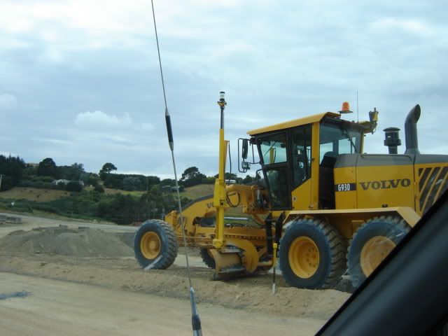
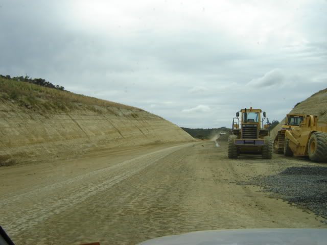
 This is no ordinary grader. It is GPS controlled and guided by a computer map that controls the setting of the blade.
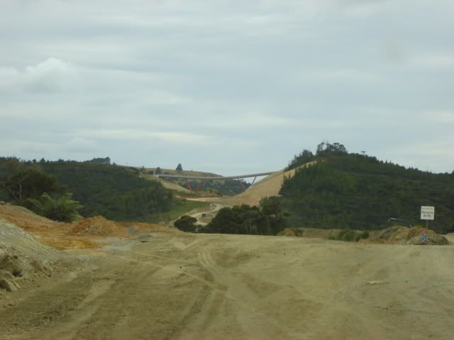
 View north
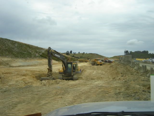
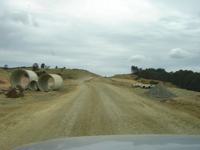 Dave had to advertise our position every no and then so we wouldn't get accidentally squashed.
 I suspect some of these photos are out of sequence.
 The next photo shows the length they have to go to in order to stabilize the foundation that hold up the soil for the bank that carries the outer lane. The inner lane was cut into the hill.
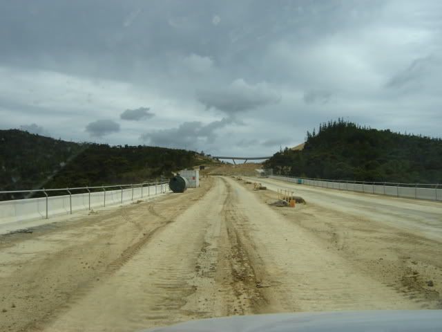
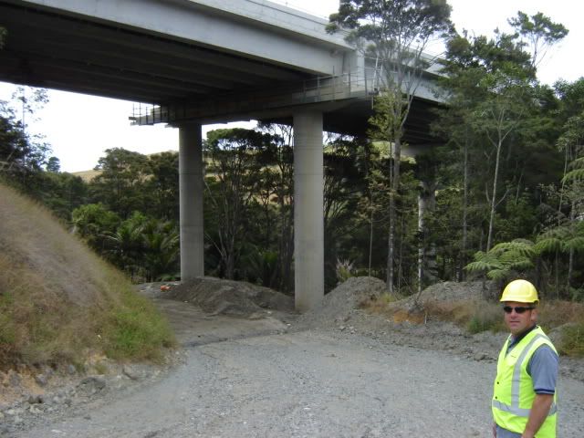
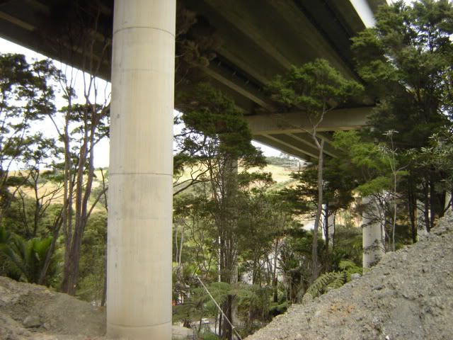
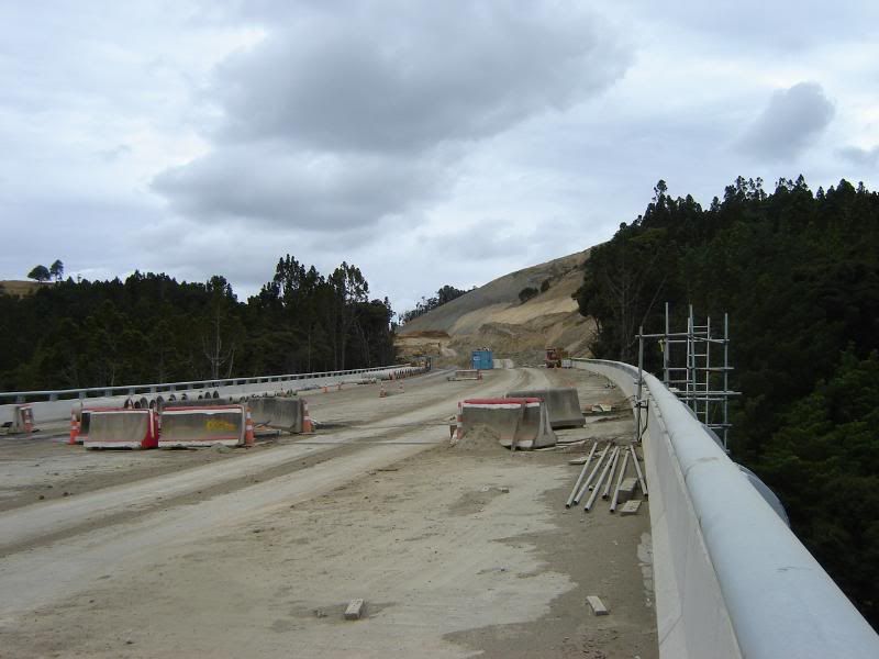
 View of a bridge that crosses an ecologically sensitive area.
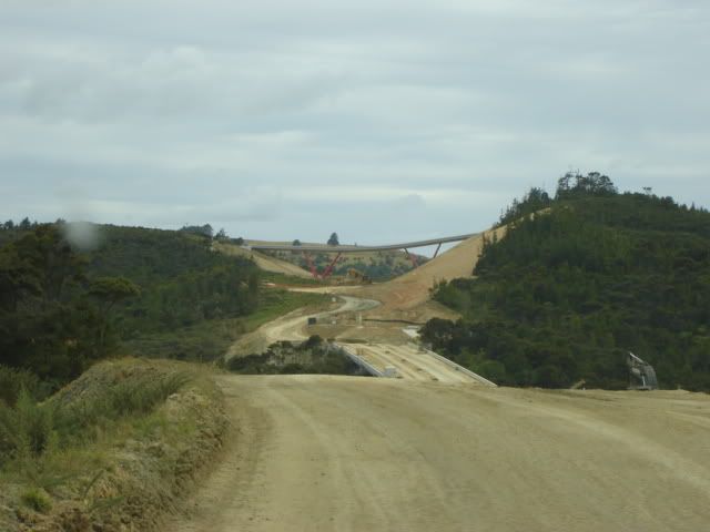
 on the bridge
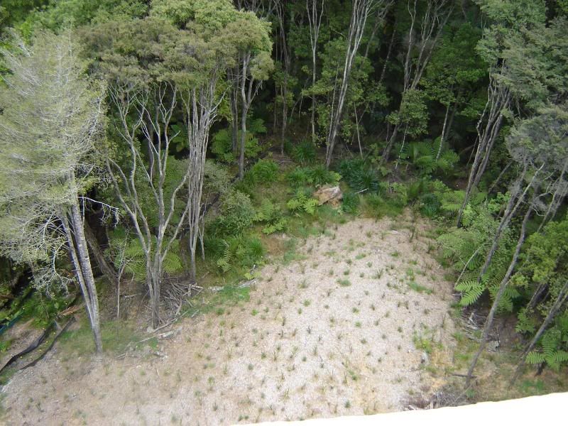
 below the bridge
 this area has its own irrigation system due to the rain shadow of the bridge
 To be continued....
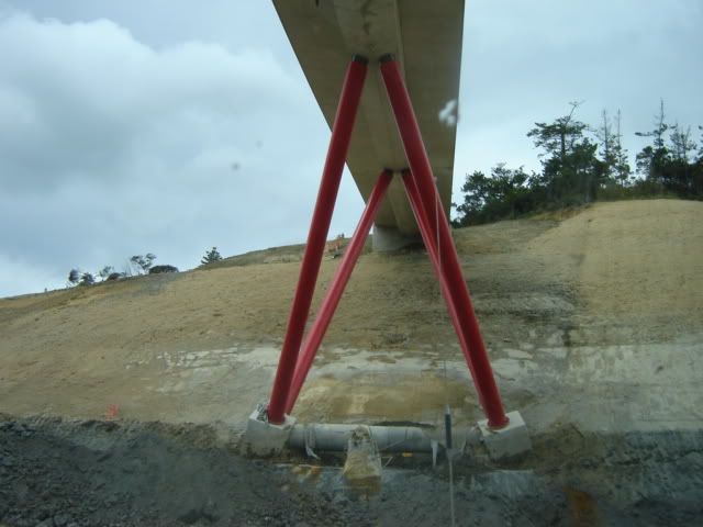
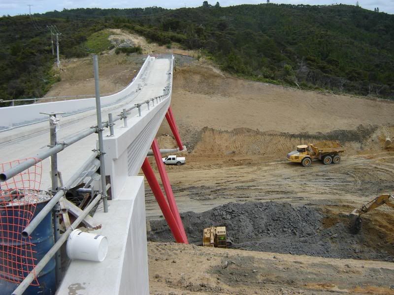
The bridge seen below is a single lane bridge that was build to connect privately owned land that would otherwise have been separated. What's interesting about it is that it was constructed on the surface of the land, on temporary supports. Later the soil beneath it was excavated and the temporary supports removed. Of course the support was not removed until the actual steel support had been installed.
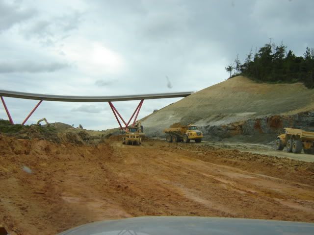 This stump remains from the temporary support.
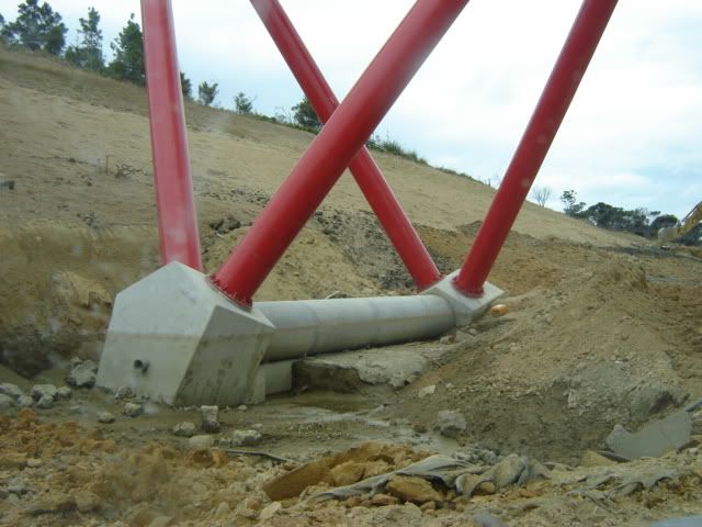
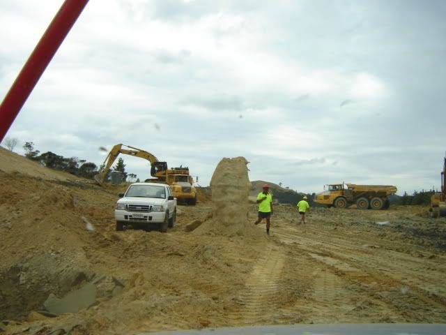 Support foundations
 The space beneath the bridge still has to be excavated another 12m to bring it down to road leve.
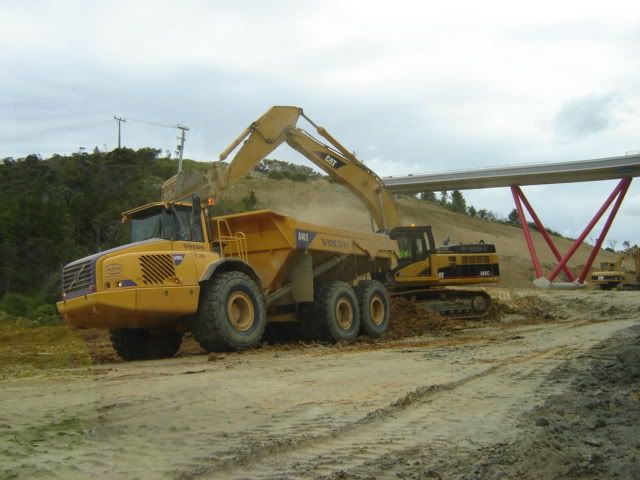
 Stay away from these guys
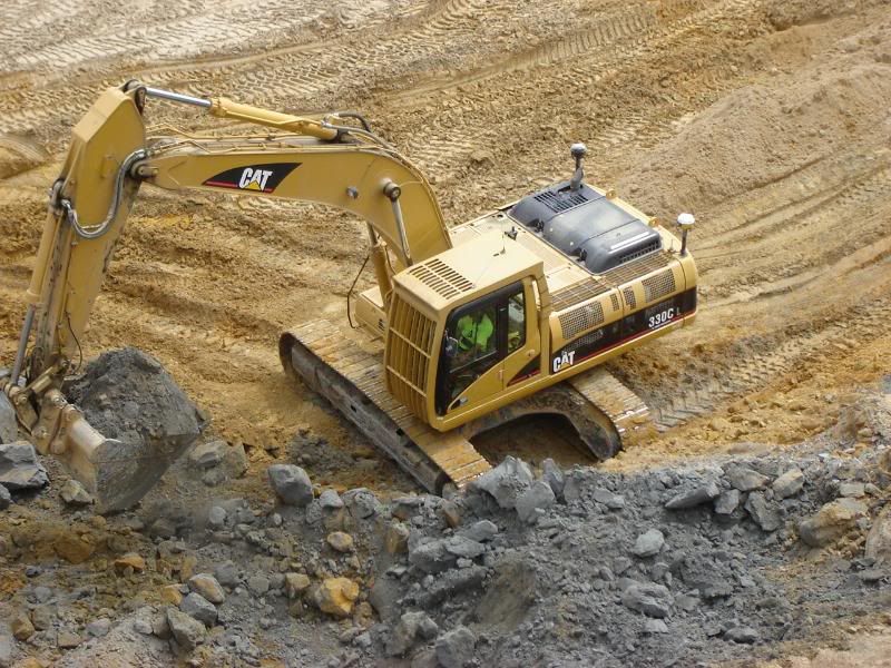
 The digger shown below also get's his instruction via computers and GPS.
 My host
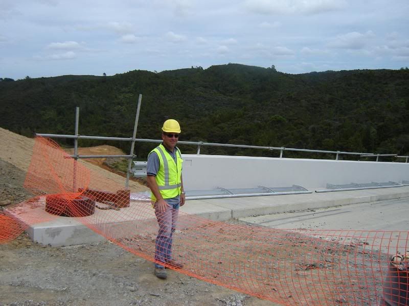 another enginee... ahem a vistor 😉
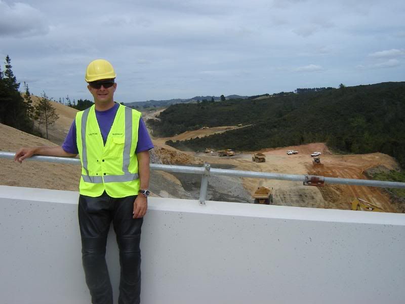 On to the next bridge
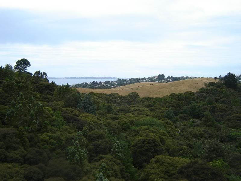
 with a good view to Hatfields Beach
 below you can see the replanting that is being done
 Here we are looking at the segments..
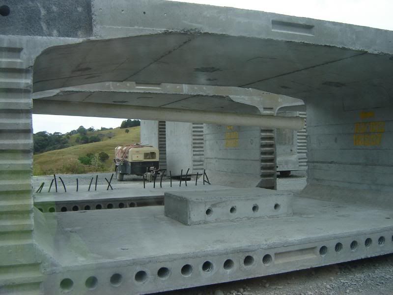
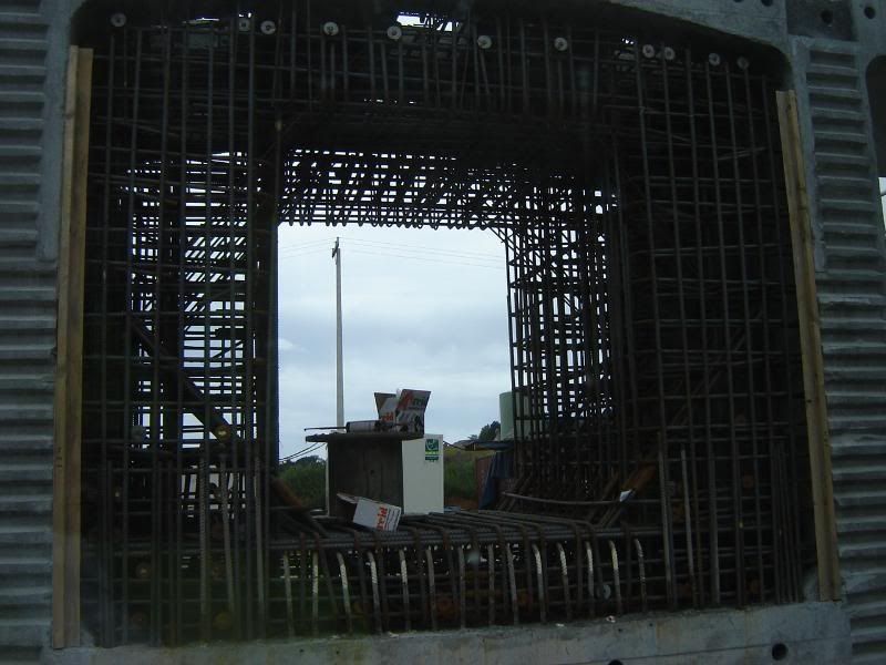 that make this bridge
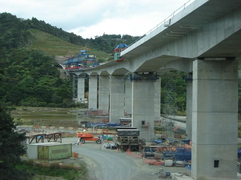
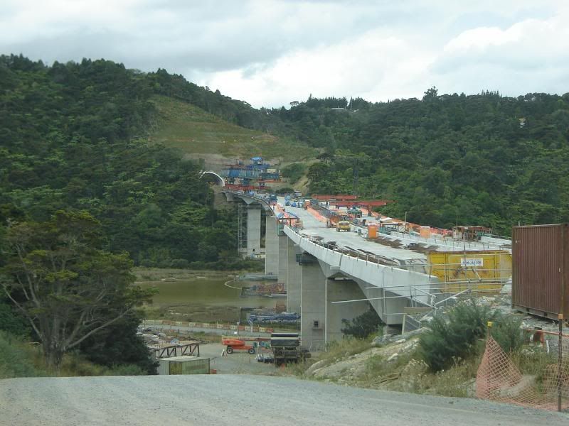 that leads into this tunnel
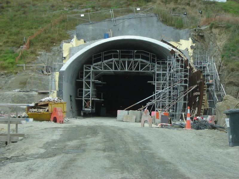
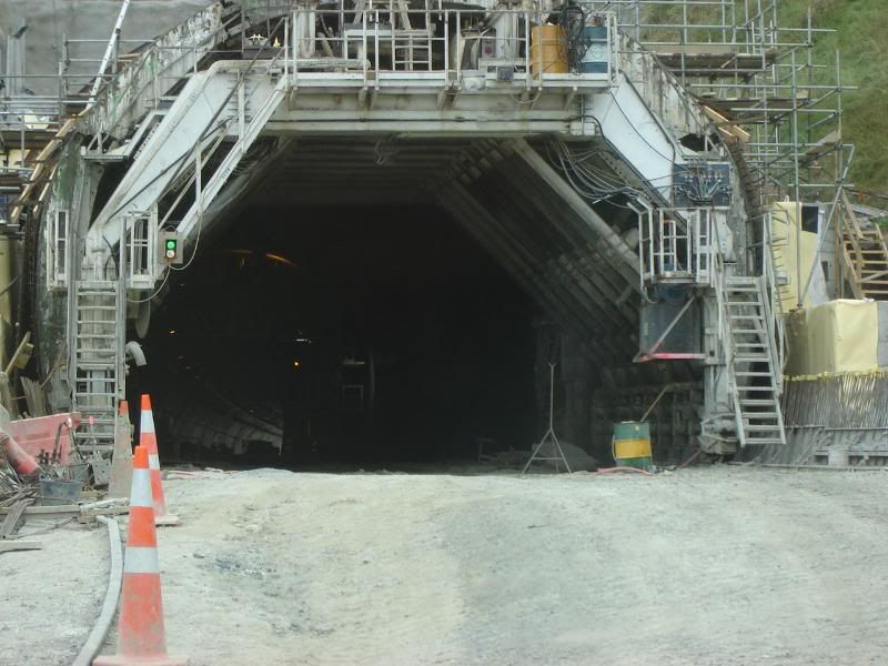 This hole needs to be filled to bring it up to bridge level. It will only take 6 weeks or so, but you need the big toys for the job. Trust me, this is not a Tonka truck.
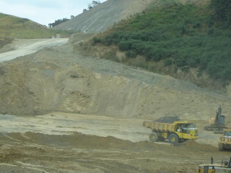 I hope you've enjoyed your tour around the building site. I hope I got most things right. I forgot to mention that there will be a tool booth that will photograph your license plate as you drive past, so that you can be invoiced automatically. I am sure this method will eventually catch on with other government departments. Well, it was/is a costly project and no slugs were harmed and very few twigs were snapped during the construction, your tax dollar made sure of that. Actually, I fully support this attitude towards construction if it is truly warranted. Let's hope it was. Thanks for the tour Dave.
Anonymous
Inactive19/02/2008 at 7:03 amPost count: 305Well done, Alex!You pretty much nailed everything. You must have really been paying attention! Bad news for the dirt bikers though. We placed our first asphalt last week, and will keep going until December.Dave

Thanks guys, really appreciated the effort and great photos..Cheers Leigh
Anonymous
Guest19/02/2008 at 9:57 amPost count: 2134I'm waiting for the high speed test just before it opens. 😀
Anonymous
Inactive29/01/2009 at 3:26 amPost count: 305HA HA HA! Denied!
-
AuthorPosts
- You must be logged in to reply to this topic.
